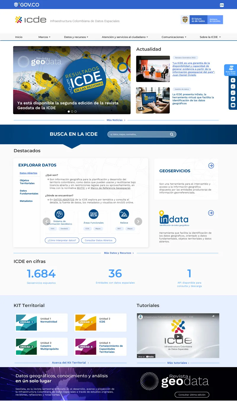
The ICDE serves as the coordinator for the entities responsible for producing geographic information in the country, generating valuable content related to the identification, analysis, and production of Colombia's geographic data.
The main goals for strengthening territorial capacities with a Multipurpose Cadastre approach—achieved through the transversal portal—include identifying geospatial data, making it available for consultation and download, promoting knowledge transfer, presenting an associated reference framework, and ensuring data quality.
Through a productive user experience analysis, the challenge of showcasing the country's geospatial data has been successfully met thanks to the expert consultancy of an interdisciplinary team working to position the strategy.
Why Drupal was chosen
Security, Mainteniabillity, Integration capabilities, Gov.Co compilance
Technical Specifications
Drupal version: